Most Popular
-
 Places to Take Photos in Lubbock, Texas
 -
 Casino Bus Tours in Lancaster, California
 -
 Top 10 Vacation Spots in Hawaii
 -
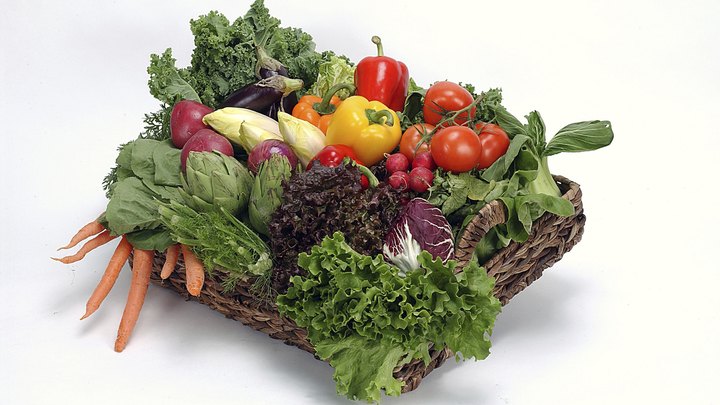 Which Fruits & Vegetables Can I Take to the USA From Canada?
 -
 Lusby, Maryland Beaches
 -
 The Effects of the Steam Locomotive
Quick Links