Most Popular
-
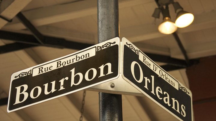 Hotels That Overlook Bourbon Street
 -
 Beach Front Hotels in Gulfport, Mississippi
 -
 How to Clean a Hotel Room
 -
 Where to Stay: Harrahs vs. Ballys
 -
 Hotels Near the Ronald Reagan UCLA
 -
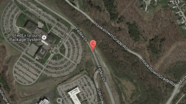 Where to Stay at FedExField
Quick Links