You've found a satellite image that would be absolutely perfect to use in your PowerPoint presentation, in your blog, or on your website, but how do you get it there? With a few steps, you can save and move that image.
Step 1
Go to Google Maps (maps.google.com) and search for the location that you want to find.
Video of the Day
Step 2
Click on the balloon letter next to the result that matches your intended search.
Step 3
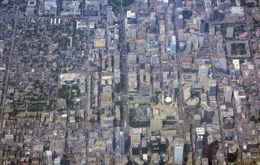
Click on the "Satellite" button and zoom in or out to the desired level. You can use the click wheel on your mouse to zoom or use the "Plus" and "Minus" bar on the left side of the image.
Step 4
Press the "Print Screen" (sometimes labeled "Prnt Scr") button on your keyboard to copy the image.
Step 5
Open the Paint program on your computer and select "Paste." Your Google Maps satellite image should now appear in the Paint program window. You can crop out any undesired parts of the image (such as the parts of the Web page that aren't the satellite image) and save the file for use. Alternatively, you can paste the page image directly into another program.
Video of the Day