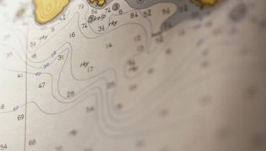


Navionics makes a series of electronic nautical charts for almost every region on the globe. Entire regions of charts are compressed onto AD, CF or Microdrive cards to be used with your navigation device. These charts are compatible with Mac and PC interfaces, and the Platinum series allows you to copy the chart to transfer between systems and navigation devices. Navionics does not allow copying for mass distribution; it allows the copying between personal computers and your boat's electronic marine devices.
Items you will need
Computer and printer
SD card reader with USB cable
Navionics Platinum NavPlanner Maps on SD
Insert the USB plug from the SD card reader into the USB port on your PC. Insert the Navionics Platinum NavPlanner SD card into the reader and turn the computer on.
Open the SD card contents and select the chart you wish to copy to the computer and then to your navigation device. Follow the menu prompts and select "Export." Allow the data transfer to take place to your computer's hard drive.
Find the copy of the chart transferred to your computer, using your finder. Open the chart in your computer's chart or navigation software.
Tips
- An electronic chart should be in addition to paper charts. Do not rely on the electronic chart for your only source of navigation information.
- Copies made cannot be transferred to another SD, CF or microSD card. Copies must remain on your computer.
References
Tips
- An electronic chart should be in addition to paper charts. Do not rely on the electronic chart for your only source of navigation information.
- Copies made cannot be transferred to another SD, CF or microSD card. Copies must remain on your computer.
Writer Bio
A former Alaskan of 20 years, Eric Cedric now resides in California. He's published in "Outside" and "Backpacker" and has written a book on life in small-town Alaska, "North by Southeast." Cedric was a professional mountain guide and backcountry expedition leader for 18 years. He worked in Russia, Iceland, Greece, Turkey and Belize. Cedric attended Syracuse University and is a private pilot.