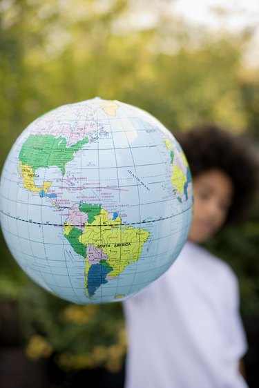
Google Earth is a free geographical mapping application that you can use to view images of locations all over the globe. Google Earth uses KML files to store images and their corresponding location data for rendering within the application. You can create your own KML files from JPG images using the RoboGEO application.
Step 1
Open your Web browser and navigate to the RoboGEO download page located at www.robogeo.com/home/download.asp.
Video of the Day
Step 2
Click the "Click Here" link to download the RoboGEO installation file in MSI format.
Step 3
Double-click the downloaded file and follow the on-screen prompts to install the application to your computer.
Step 4
Double-click the RoboGEO icon on your desktop to run the application.
Step 5
Press the "F2" key and navigate to the folder that contains the JPG file that you want to export to a Google Maps KML file. Double-click the image file to add it to your "Photos" list. Repeat this process for each file that you wish to export to a KML file.
Step 6
Type the latitude and longitude associated with the file in the fields next to the JPG file's entry in the "Photos" list. You may also type in the altitude, direction and title for your image in the adjacent text fields.
Step 7
Hold the "Ctrl" key and press "G" to begin exporting your photos to a Google Earth KML file.
Step 8
Click the "Create KML File" button to save your JPG images and their associated location information in KML format.
Video of the Day