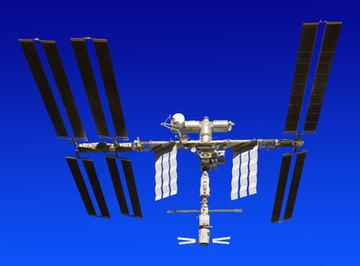

A satellite is an object in space that orbits something else. It can be natural, like a moon, or artificial. An artificial satellite is placed into orbit by being attached to a rocket, launched into space, then detached when it is in the correct location. According to National Geographic, there are over 1,000 satellites orbiting the Earth. Man-made satellites are also used to explore other parts of our solar system including Mars, Jupiter and the sun.
Weather
Weather satellites send down a constant stream of data, reporting to us myriad facts from around the globe. Information beamed down includes temperature, rainfall, wind speed, and cloud patterns. Meteorologists use this information to help them predict the weather, especially in spotting severe storms before they become dangerous. This gives people a chance to take shelter from tornadoes and evacuate areas in the path of hurricanes.
Communications
A communications satellite is one that serves as a relay for signals from one point on the ground to another. These satellites are typically geosynchronous, which means they are placed into orbit in such a way that they are always over the same spot on the earth. Communications satellites handle telephone signals, mobile communications, and ship-to-shore radio. They also relay television and radio signals from the broadcast point to stations around the country.
Exploration
Another important function of satellites is to explore and map the Earth and other planets. Many satellites are equipped with cameras that capture still and video pictures of the surface of the planet. Infrared images, showing patterns of heat and cold, are also common. Scientists use satellite images to track changes in hard-to-reach places, such as the polar ice caps.
The Hubble satellite orbits the earth, but has its cameras pointed at the stars. Being positioned in space allows it to transmit images that are not affected by the Earth’s atmosphere. The pictures of stars and nebulae are studied by astronomers, but they are also made available to the general public through a variety of outlets, such as the Hubble Gallery on the Wired Science website. In 2009, Google Earth added a feature allowing users to explore the surface of Mars using maps from sources such as the Mars Reconnaissance Orbiter, a satellite project of NASA.