Most Popular
-
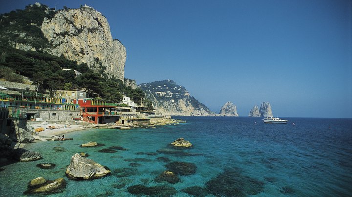
 The Must-See Beaches in Italy
 -
 Basic Information About Traveling to Spain
 -
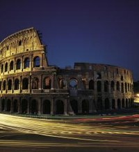
 How to Enjoy Rome on a Budget
 -
 Warm Places to Travel in Italy in January
 -
 The Best Way to Spend Two Weeks in Europe
 -
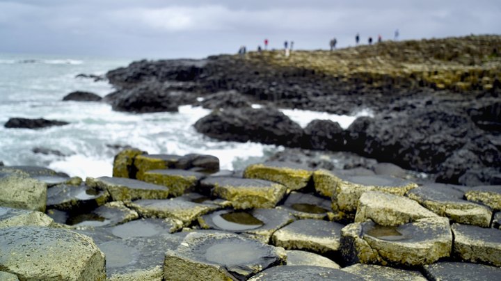 The 10 Best Places to Go in Ireland
Quick Links